Buket Akıllı, “Development of Web based GIS”, 13 Kasım 2013, C126

Bilgisayar Mühendisliği Bölümü Semineri #29:
Abstract:
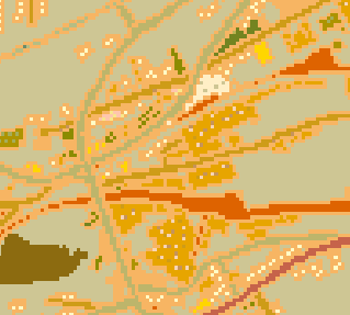
In this presentation, Web based geographic information systems (GIS) architecture is described and implemented using Web-GIS tools. Geography markup language (GML), scalable vector graphics (SVG) and Web feature service (WFS) specifications has an important role in the development of web based geographic information systems. Geo data in the form of GML (Geographic Markup Language) will first obtained from avaible Wfs server in real time and then will be transformed into SVG(Scalable Vector Graphics) by XSLT(Extensible Stylesheet Language Transformation). In this way, geo data will be visualized as quality vector maps in a browser software. The software built on Mapxtreme development kit using the C# programming language in .Net environment with interactive user interface.

